Japan / Bizen Province · Kibi · Ancient Japan · Okayama
Bizen Province, Part I — The Eastern Country Born from Kibi
Great tombs, a provincial capital, the San'yō road, salt, and stoneware: how the ancient state created the country called Bizen.
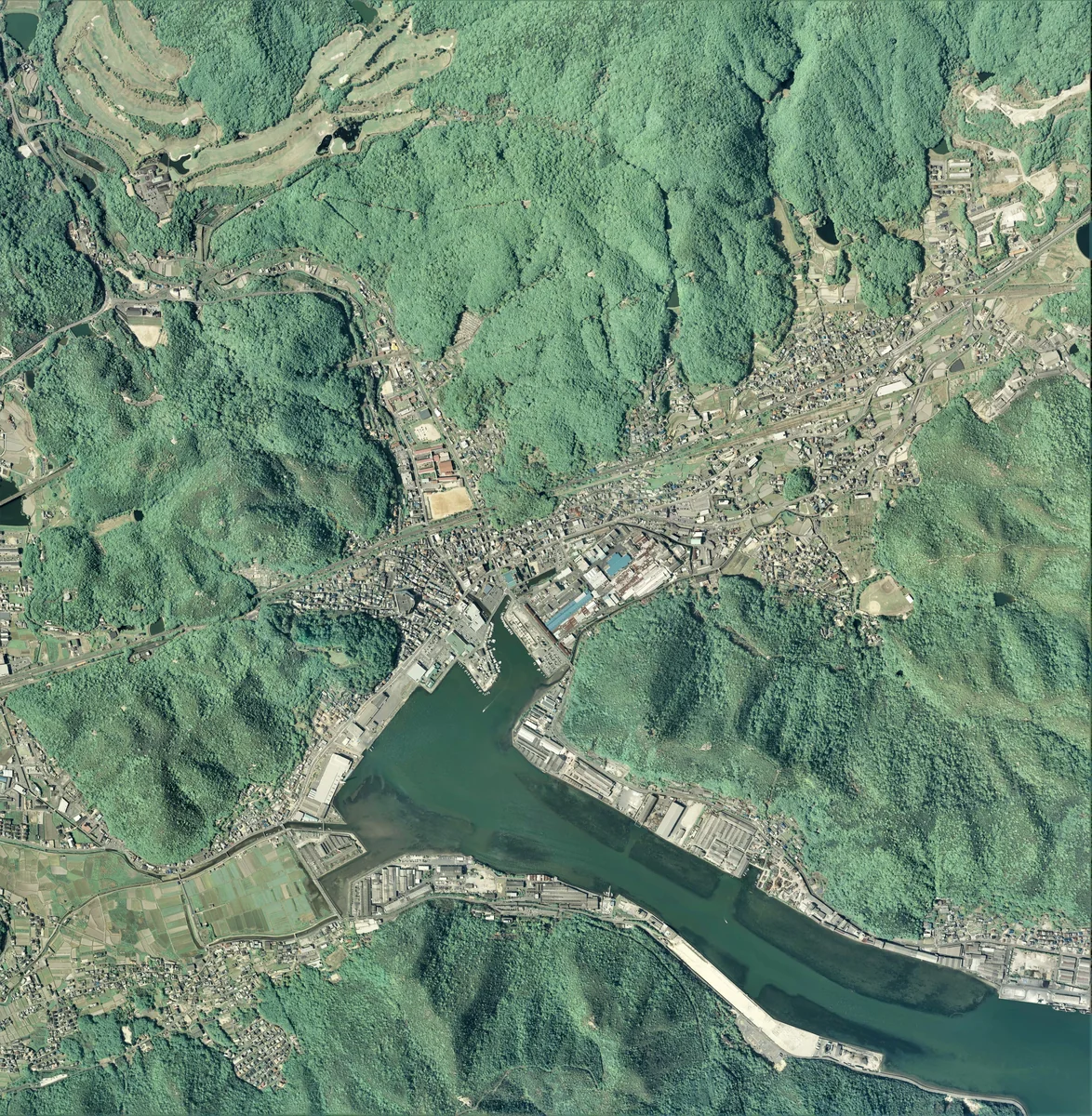
“Bizen” names more than the modern city. It was once a province covering a broad part of southeastern Okayama. Behind it lies an older region still: Kibi, one of ancient Japan’s most powerful centers.
This three-part series treats Bizen not merely as a succession of rulers, but as a region made by rivers, roads, ports, fields, and manufacturing. Part I follows its transformation from the country of Kibi into a province of the centralized state.
The Power Recorded in Great Tombs
Ancient Kibi supported political powers comparable in scale to all but the strongest centers of the Kinai region. Large tombs—including Urama Chausuyama, Minato Chausuyama, Kanagurayama, Jingūjiyama, and Ryōgūzan—stand around modern Okayama, Akaiwa, and Setouchi.
Ryōgūzan, about 190 meters long, is among the largest keyhole-shaped tombs in the former province. Such a monument was not only an elite grave. It demonstrated a society capable of mobilizing labor, food, tools, and specialized knowledge.
The Nihon Shoki preserves stories of the Kamitsumichi clan resisting royal authority. They cannot be read as straightforward chronicles, but they suggest that Kibi’s leaders mattered greatly to the Yamato court. By the sixth century, royal estates and administrative offices were being imposed, and powerful local lineages were incorporated into the state.
Dividing Kibi
Kibi was divided into Bizen, Bitchū, and Bingo in the later seventh century. Their names—front, middle, and rear Kibi—expressed their order from the capital. Bizen was the eastern section and the closest to the court.
In 713, six northern districts were separated to create Mimasaka Province. Boundaries and district names continued to change until a structure of eight districts—Wake, Iwanashi, Oku, Akasaka, Kamitsumichi, Mino, Tsudaka, and Kojima—was established by the late eighth century.
Division meant more than lines on a map. It determined where taxes went, where officials served, and where roads and granaries were maintained. Bizen was created through this administrative network.
Capital, Temple, and Highway
The provincial capital is thought to have stood near present-day Kokufu-Ichiba in Okayama City. The provincial temple was built at Maya in modern Akaiwa; its remains are now a National Historic Site.
Government office, temple, and major shrines made political, religious, and ritual authority visible. Yet the state could not function without existing communities of farmers, fishers, craftspeople, and local elites. Central institutions rested upon older powers already embedded in the land.
Bizen was classified as a major province on the San’yō circuit. The San’yō highway linked the capital to Dazaifu, with stations in Bizen at Sakanaga, Kama, Takatsuki, and Tsudaka. Officials and orders moved on the road, but so did goods, techniques, beliefs, and news. Bizen’s proximity to the Kinai and access to the Inland Sea helped carry its production outward.
Salt, Iron, Fish, and Vessels
Wooden tablets excavated at the Fujiwara and Heijō capitals record rice, salt, iron, and fish sent from Bizen. Legal compilations also list textiles, salt, and pottery among its obligations.
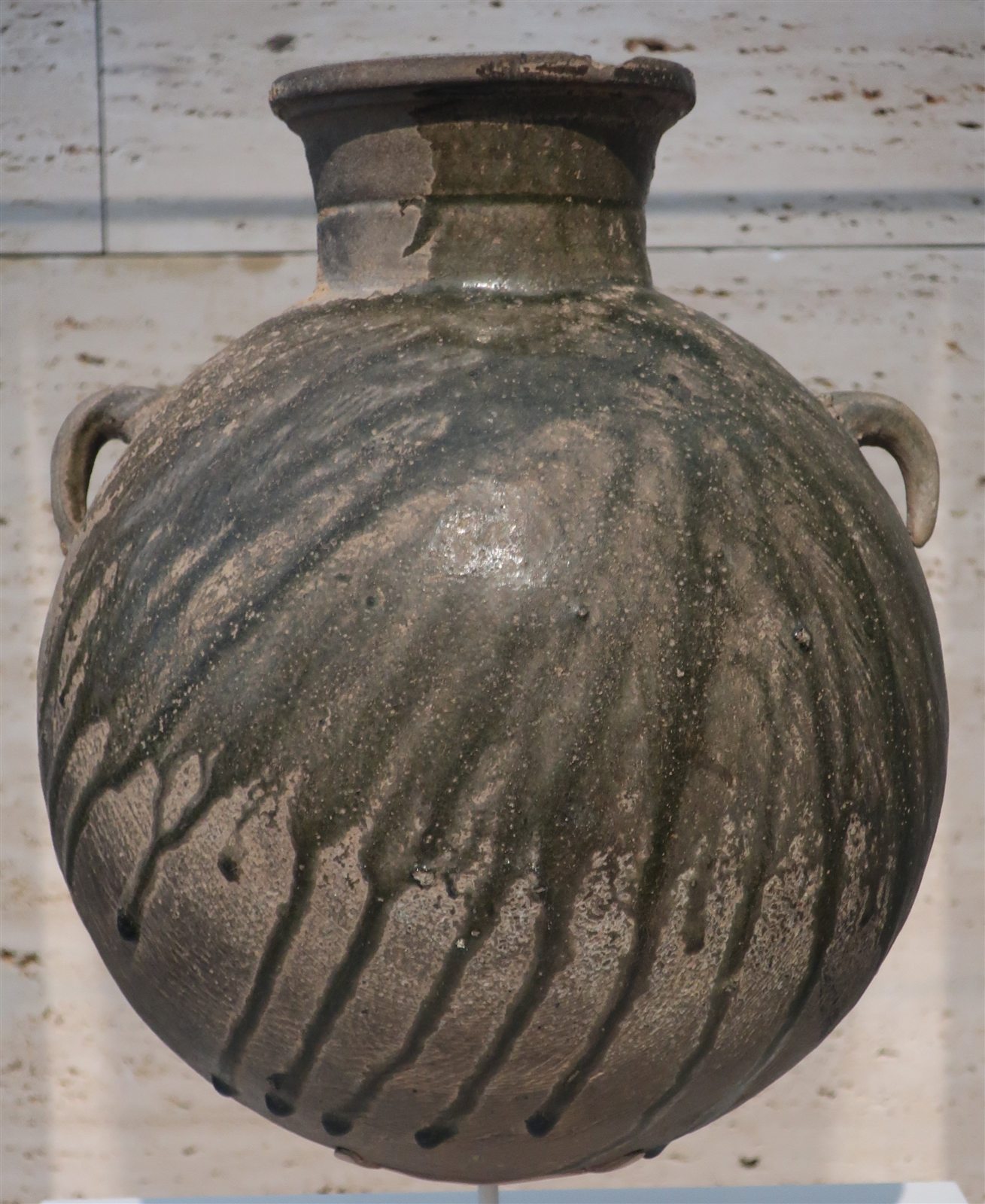
Coastal flats favored salt production. The Yoshii and Asahi rivers supported agriculture; mountains supplied timber and fuel; clay and controlled fire sustained Sue-ware kilns. Bizen was not a country of one celebrated product, but a combined economy joining sea, plain, and mountain.

Land Becoming Estates
From the eighth century, development of tidal flats and river plains supported estates belonging to court aristocrats and major temples. By the Heian period, Bizen included large holdings such as Shikata, Toyohara, Tottori, Kanaoka, and Noda.
Provincial government and private estate authority existed together and sometimes competed. Rivers created new land through silt. Who cleared that land, who claimed it, and who received its harvest became political questions.
Ancient Bizen is best understood through movement: rivers making plains, the sea carrying products, and the highway reaching the capital. When the state gathered these flows inside an administrative frame, Bizen Province came into being.
Continue to Part II: “Markets, Ports, Swords, and Clay.”
Sources and Image Credits
- Okayama Prefecture, National Cultural Properties
- Okayama Ancient Kibi Cultural Properties Center
- Entries on Bizen Province in Encyclopedia Nipponica, the Heibonsha World Encyclopedia, and the Nihon Rekishi Chimei Taikei, accessed through material supplied by the user.